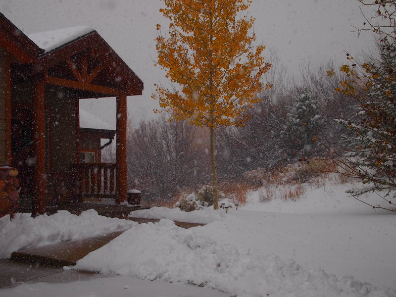
Snow is returning to Park City!
We hope you enjoy our new Park City Utah Weather Forecast blog. We will be updating this blog every Saturday, so make sure to bookmark and check back weekly so you know where and when the best snow will be falling.
We have had a frustrating past few weeks in Park City. Our weather had a tropical connection, which is good for moisture but bad for temperatures! Snow levels were around 8,000 ft which is never fun. But that’s the past! We currently have a strong cold front coming through Utah. Snow has been falling in Park City and we already have 2-3 inches at town level. I suspect mountain locations are flirting with 4-5 inches at this point. Storms like these are very hard to forecast snow totals. They generally are fairly dry in moisture but they are so cold the snow really stacks up quickly. Hence forecasts for this current storm ranging from 1-14 inches! Its good to be a weather man. Here is the rest of this week’s forecast (forecast is for mid mtn locations at the local resorts ~8,000 ft):
Saturday (today): Much colder! Afternoon temps around 15. Snow, heavy in the afternoon. Best guess on totals at this point is 4-8 inches. Thinking at this point it will be on the higher side.
Sunday: Morning lows around 5 (Dress warm!) Chance of snow showers in the morning but becoming sunny by afternoon. High temps only around 15.
Monday: Morning lows around 10. Another small storm coming through. Chance of snow throughout the day afternoon high around 25. Snow totals around 2-4 inches.
Tuesday: Morning low around 15. Becoming sunny throughout the day and a bit warmer. Highs around 30.
Wednesday: Morning low around 15. Bluebird day! High around 34.
Thursday: Morning low around 20. Chance of snow. High around 25.
Friday: Morning low around 15. High around 25.
(Wednesday night-Friday morning storm details-right now the models are predicting most of the energy with this storm is going to go through Southern and Central Utah. I still think we see some snow from this system. Best guess right now is another 4-8 inches. Small change in storm track and we could see more or less. Confidence right now is pretty low on this storm)
Things get really interesting next week! The long range weather charts show a lot of big-cold storms lined up, fingers crossed this forecast verifies!
Think Snow!
Craig
Related Posts
-

Park City Events | June 2019
Park City Events | June 2019 June Events Through 9/29: Real Salt…
-
Park City Events | April 2019
Park City Events | April 2019 April Events 10/12 - 4/7: Utah Grizzlies…
-

Park City Events | December 2018
Park City Events | December 2018 December Events: 10/12 - 4/7: Utah…