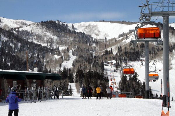
Happy President’s week to everyone. We had more high elevation snow and low elevation slop this week. It is amazing the difference in snow at the base areas vs up high. This week we will see a few inches of snow today and then a couple warmer days followed by cooler weather and snow. For the full details on the Park City Weather see below:
Sunday: Warm start, cloudy.. snow coming in quickly by midday. Accumulations in the 2-5 inch range. High: 40 Low: 20
Monday: Cloudy early becoming sunny later in the day. Warming throughout the day. High: 40 Low: 25
Tuesday: Increasing clouds throughout the day. High: 35 Low: 25
Wednesday: Storm skiing day. Snow throughout the day, should be heaviest midday. Accumulations 5-10 inches. High: 30 Low: 25
Thursday: Mostly cloudy with snow showers, maybe a few peaks of sun if we get lucky. 1-2 accumulation at best. High: 25 Low: 10
Friday: 2nd storm of the week coming in. Looks much weaker at this point, but things can change 5 days out. Light snow, totals of 2-4 inches look likely at this time. High: 25 Low: 15
Saturday: Mostly Cloudy, scattered snow showers. Maybe another 1-2 inches. High: 30 Low: 15
Reminder if you are looking for daily update be sure to check out our friends at Wasatch Snow Forecast: www.wasatchsnowforecast.com
Enjoy the week and think snow!
Craig
Photo Credit: Canyons Resort
Related Posts
-

Park City Events | June 2019
Park City Events | June 2019 June Events Through 9/29: Real Salt…
-
Park City Events | April 2019
Park City Events | April 2019 April Events 10/12 - 4/7: Utah Grizzlies…
-

Park City Events | December 2018
Park City Events | December 2018 December Events: 10/12 - 4/7: Utah…