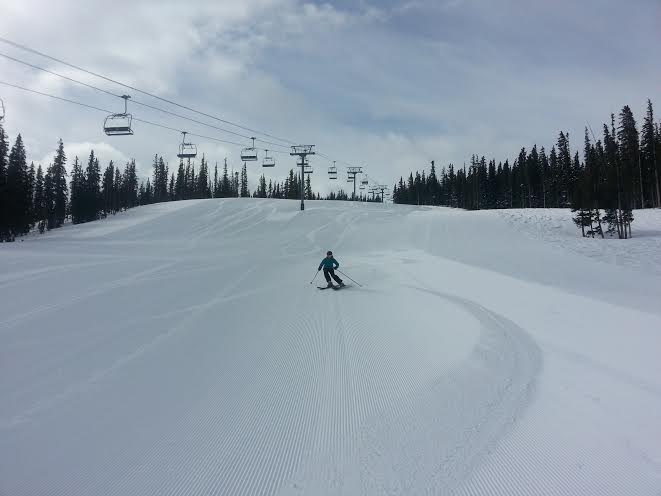
What a week of weather we had last week. Huge snow totals all around Northern Utah’s resorts. Snowfall totals ranged from 28 inches to over 4 feet of snow in some places! The storm train will continue this week. This is both good news and bad news. The good news is more precipitation is rolling in. The bad news is its a very warm storm. Snow levels could reach 8500 ft at times. This unfortunately means the base areas in Park City will probably see rain. Bottom line, ski above 8000 ft and you should be fine. Full details on the Park City Weather below:
Sunday: Snow. 3-6 inches of accumulation. High: 30 Low: 20
Monday: Snow shower early, partly cloudy by afternoon. Accumulations of 2-4 inches likely. High: 30 Low: 20
Tuesday: Mostly Cloudy. High: 30 Low: 20
Wednesday: Snow likely by afternoon. 1-3 inches above 8000 ft. High: 35 Low: 20
Thursday: Snow above 8500 ft with rain/snow mix above 7500 ft. 5-10 inches of snow possible above 9000 ft. High: 40 Low: 30
Friday: Snow ending. Mostly cloudy: High: 40 Low: 30
Saturday: Partly Cloudy and warm. High: 45 Low: 35
Reminder if you are looking for daily update be sure to check out our friends at Wasatch Snow Forecast: www.wasatchsnowforecast.com
Enjoy the week and think snow!
Craig
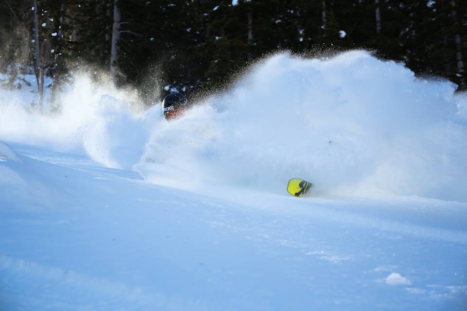
Photo Credit: Canyons Resort
Related Posts
-

Park City Events | June 2019
Park City Events | June 2019 June Events Through 9/29: Real Salt…
-
Park City Events | April 2019
Park City Events | April 2019 April Events 10/12 - 4/7: Utah Grizzlies…
-

Park City Events | December 2018
Park City Events | December 2018 December Events: 10/12 - 4/7: Utah…