
Happy Holidays to everyone! The snow continues here in Park City. Last week’s storm cycle did not disappoint. The Park City area resorts ended up receiving give or take 3 FEET of snow! Heading into this upcoming week the active pattern looks to continue. We have a storm coming in Sunday night through Monday and then another storm later next week. Take a look at this week’s Park City Utah Weather Forecast for the expected totals:
Sunday: Snow, tapering off in the morning. Windy! So dress warm. Morning low around 15 and afternoon high around around 25. Snow totals from Saturday night and Sunday AM 1-3 inches.
Monday: More snow, heavy at times throughout the day. Should be a great powder day if you enjoy storm skiing. Morning low around 15 and afternoon high of 20. Snow totals from Sunday night and Monday 10-16 inches!
Tuesday: Merry xmas to us! Sunny bluebird skies after a foot of snow looks to be the game plan. It will be cold though! Morning low around 0 and afternoon high around 20.
Wednesday: Snow moving back in, totals at this time all across the board. Best guess at this time 4-8 inches. Morning low around 5 and afternoon high around 25.
Thursday: On and off snow. Totals as stated above. Morning low around 15 and afternoon high around 25.
Friday: Partly cloudy, chance of some lingering snow showers but looking to clear out throughout the day. Morning low around 10 and afternoon high around 20.
Fingers crossed the storms pan out and we continue to stay in this great storm cycle! Happy Holidays.
Think snow!
Craig
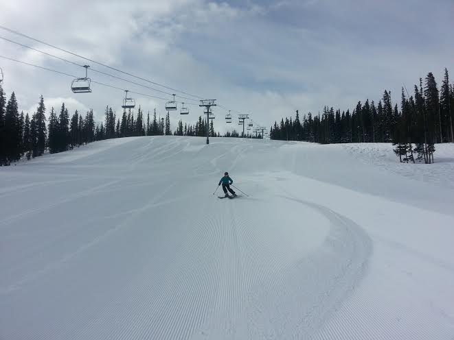
Photo courtesy of Ski Utah
Related Posts
-

Park City Events | June 2019
Park City Events | June 2019 June Events Through 9/29: Real Salt…
-
Park City Events | April 2019
Park City Events | April 2019 April Events 10/12 - 4/7: Utah Grizzlies…
-

Park City Events | December 2018
Park City Events | December 2018 December Events: 10/12 - 4/7: Utah…