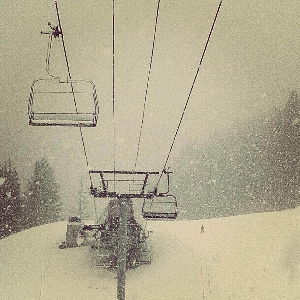
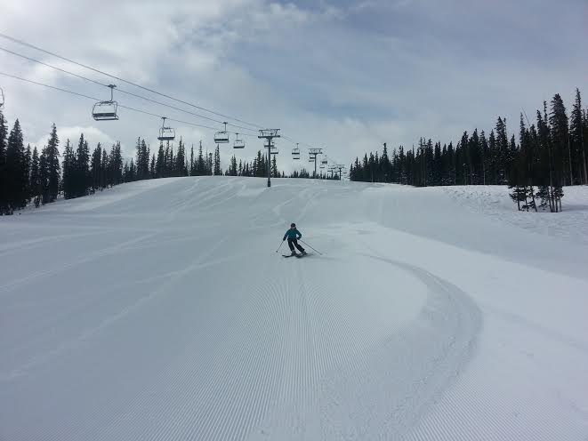
They say good things come to those who wait. Well we have waited long enough! Snow is returning to Utah and it looks to be an impressive storm to end our dry spell. Snow will start Wednesday morning then actually transition to rain in the afternoon. Fear not though as everything switches back to snow Wednesday night. Storm totals look to be a foot + above 8000 ft. For the full details see the Park City Weather forecast below:
Sunday: Sunny. High: 40 Low: 20
Monday: Mostly Cloudy, windy. High: 30 Low: 20
Tuesday: Sunshine and beautiful weather before the incoming storm. High: 30 Low: 20
Wednesday: Snow in the morning (Couple inches likely) Warming up throughout the day. Brief period of rain up to 9000 feet in the early evening. Snow becoming heavy as the night wears on. High: 40 Low: 25
Thursday: Snow in the morning, tapering off throughout the day. Storm totals 12-24 inches above 8000 ft. 6-12 inches between 6500-8000 ft. High: 20 Low: 15
Friday: Snow showers. Peaks of sun too. Maybe an inch or two. High: 20 Low: 10
Saturday: Mostly sunny, flurries still possible. High: 15 Low: 10
Enjoy the snow! The pattern looks to stay more active than it has been. This is good news because we are in major make up mode for our snowpack!
Think Snow,
Craig
Related Posts
-

Park City Events | June 2019
Park City Events | June 2019 June Events Through 9/29: Real Salt…
-
Park City Events | April 2019
Park City Events | April 2019 April Events 10/12 - 4/7: Utah Grizzlies…
-

Park City Events | December 2018
Park City Events | December 2018 December Events: 10/12 - 4/7: Utah…