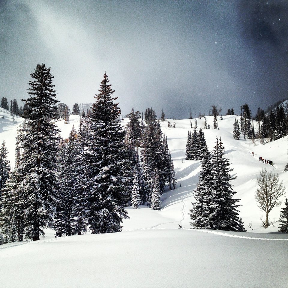
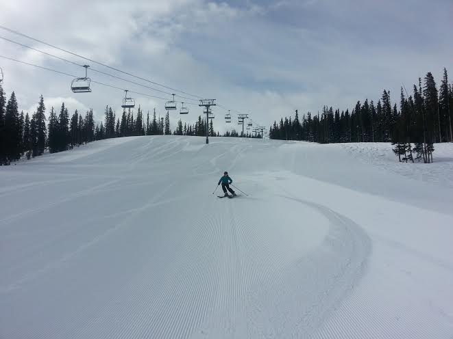
We hope everyone enjoyed the snow last week. We had a general 8-10 inches fall around the local resorts with isolated areas of over a foot! The best news is the monster high pressure we had in January is gone. We will have a number of storms roll through over the next 10-14 days. Details on this week’s Park City Weather below:
Sunday: Partly Cloudy and cool. High: 20 Low: 10
Monday: Cloudy with some light snow moving in later in the day. Snow will increase overnight. High: 20 Low: 10
Tuesday: Cloudy with snow showers. High: 10 Low: 5. Storm totals Monday night into Tuesday should be around 4-8 inches. The air will be really cold which means it wont take much moisture for the snow to pile up fast. Thus 4-8 could be a bit of a low forecast total but I don’t think anyone will complain if we end up with a foot 🙂
Wednesday: Mostly Cloudy. Light snow showers. High: 15 Low: 0
Thursday: Mostly Cloudy. Light snow showers. High: 15 Low: 5
Friday: The next storm rolls in! I hate speculating on snow totals this far out. If the current models hold I would say 5-10 inches are likely. However, the models have been trending south with the storm track so tune into www.wasatchsnowforecast.com for daily updates. High: 10 Low: 5
Saturday: Sunny, bluebird ski day with fresh snow! High: 20 Low: 5
Reminder if you are looking for daily update be sure to check out our friends at Wasatch Snow Forecast: www.wasatchsnowforecast.com
Enjoy the week and think snow!
Craig
Photo Credit: Kristi Henne
Related Posts
-

Park City Events | June 2019
Park City Events | June 2019 June Events Through 9/29: Real Salt…
-
Park City Events | April 2019
Park City Events | April 2019 April Events 10/12 - 4/7: Utah Grizzlies…
-

Park City Events | December 2018
Park City Events | December 2018 December Events: 10/12 - 4/7: Utah…